Ichetucknee River
Ichetucknee Springs North Entrance, Southwest Elim Church Road, Fort White, FL, USA
Add To Trip Planner Directions
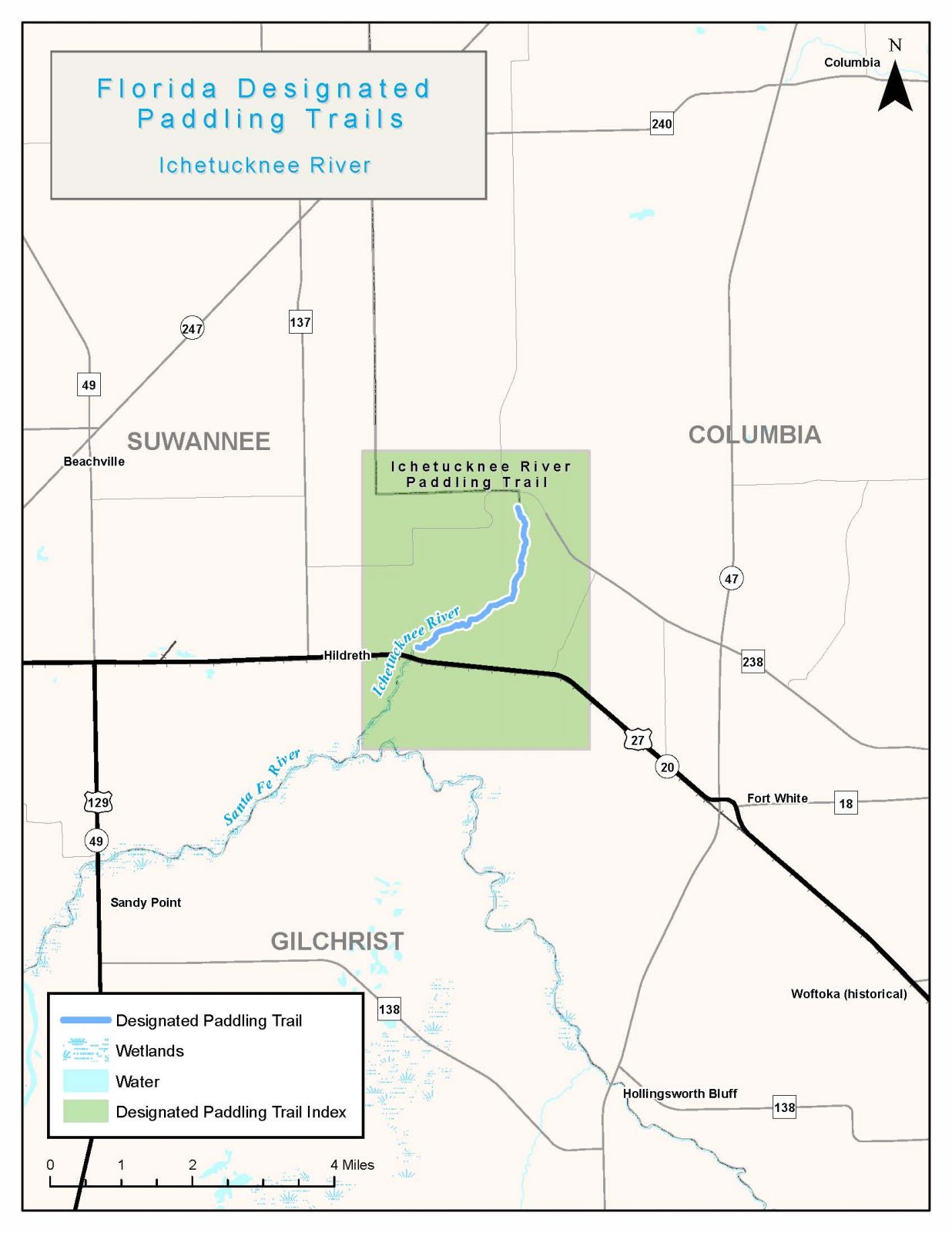
This scenic waterway begins near the beautiful headspring of Ichetucknee Springs at the north end of Ichetucknee Springs State Park. Made up of nine springs, the Ichetucknee River’s 72-degree year-round water flows three miles through the park boundaries. The park protects spectacular habitats that are home to a variety of wildlife and plant life that can be seen both above and below the surface of the crystal clear water.
The following map and trail guide are provided courtesy of the Florida Department of Environmental Protection, Office of Greenways and Trails.
Click here for trail map and guide.
OUTFITTERS AND SHUTTLE SERVICE
DISCLAIMER: The Original Florida Tourism Task Force (dba Visit Natural North Florida) and the North Central Florida Regional Planning Council do not warrant the accuracy or timeliness of this map and paddle guide or the safety of this trail for use by paddlers. Paddler should use this trail only if they have the adequate skill level and equipment, and paddlers must make that determination. Paddlers should also check weather forecasts and water levels in advance to avoid unnecessary danger. The Original Florida Tourism Task Force, the local governments in which these bicycle routes are located and the North Central Florida Regional Planning Council are not responsible for any damages whatsoever from its use.


