Drive Florida’s Dixie Mainline–Hardly A Road To Nowhere!

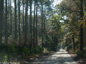
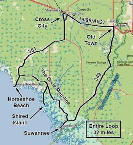
If you’re driving from the Dixie County Big Bend coastal community of Suwannee to Horseshoe Beach (or vice-versa), you have two options. The first involves traveling at least a 20-mile trip back to US19/98, heading to either Cross City or Old Town and then another 20-plus miles to your destination. The other is a simple, and scenic shortcut along an old logging trail, the Dixie Mainline.

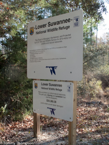
While the Dixie Mainline is hardly a finished road, it’s 30-plus miles can cut off significant travel time. It’s a graded road, and is part of the Lower Suwannee National Wildlife Refuge. It crosses the headwaters of several coastal creeks, where it’s possible to launch canoes and kayaks and then paddle to the Gulf of Mexico. Parking is limited, and most paddlers leave a vehicle on the Mainline and take another to Shired Island Park boat ramp, where they can then drive back to their parked car or truck.

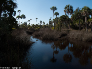
While some of the Dixie Mainline runs through stands of managed pine forest, most of the scenery involves low-lying areas of cypress trees, cabbage palms and spartina grass. There’s also a chance you’ll see some critters, too! Gators, turtles and otters abound.

To access the Dixie Mainline from Horseshoe Beach, turn at the sign near the water plant on CR351. The Mainline crosses over CR357 (Shired Island Road) and exits near the county park on CR349, just east of Suwannee. Heavy rains can make the road rough, but the crews from the Wildlife Refuge do a pretty good job of keeping it accessible.

